

- トップ - ソリューション
- 測量/設計
ソリューション
測量/設計
survey and design
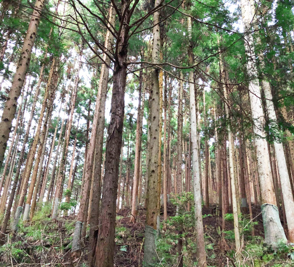
植生地でも“時短” “高精度”な計測を。
UAV(ドローン)レーザー測量のプロフェッショナルとして、お悩みを解決。
写真、地上レーザー、UAVレーザーを組み合わせ、ご依頼の現場に最適な方法で測量することが可能です。
UAVレーザー測量とは
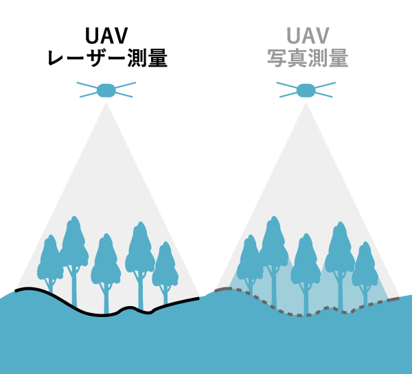
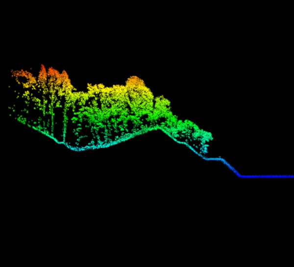
森林測量において"樹木の伐採前"でも、従来の測量方法や写真測量と比較し「短時間」で「高精度」「広範囲」のデータを取得・解析することが可能。大幅な納期の短縮と精度の向上を実現します。
導入支援も対応可能
これから測量を内製化されたいお客様へ、導入予定機器を使用した講習を行うことが可能です。
実際の現場での計測、データ解析、成果物作成まで、お客様ご自身で一貫して業務を行えるようレクチャーいたします。
「ドローン商社」+「豊富な運用経験」
が生み出す、サービスの強み
-

機器の運用経験を土台とした「UAVレーザー測量」
多種多様な機器の運用経験を積み重ねてきた弊社は、「ドローン」と「レーザー」2つの分野のプロフェッショナルであると自負しています。
いくつかの測量方法の中でも、測量機器だけではなくドローンのことも熟知し、機器のパフォーマンスを最大限引き出すことが重要とされる「UAVレーザー測量」を得意としています。
公共測量、i-Construction用測量(工事測量)、災害現場測量、その他民間測量などの実績を多数有しており、確かな実力でお客様のお悩みを解決します。 -

最適な機器の選定
国内外問わず、複数のメーカーのドローン、測量機器、ソフトウェアを幅広くご用意。あなたの現場に合わせた、最適な組み合わせを提案いたします。
機器のラインナップは常にアップデートし、最新のものを。豊富な品揃えから、運用経験を活かして導入機器の選定をサポートします。 -

運用ノウハウを還元
代理店+測量受託の立場から、お客様に合わせて最適な「内製化支援」の提供が可能です。
たとえば、測量会社様の場合はUAVの操縦から、写真測量会社様の場合はLiDARの解析指導から、というように、お客様の状況に合わせて講習内容を都度カスタマイズ。
知見・経験のある熟練のオペレーターが多数在籍しており、これまでに培ってきた運用ノウハウを交えつつ、お客様の業務をサポートします。
製品・サービス
ご利用の流れ
-
お問い合わせ
当ホームページのお問い合わせフォームにご入力のうえ、送信してください。
担当部署で内容を確認したのち、ご連絡いたします。 -
お打ち合わせ
・お見積もり希望の計測日、場所、面積、納品成果物、納品日、要求精度などをお伺いし、適切な計測方法や計画をご提案。測量方法・作業実施日・精度などをすり合わせます。
お打ち合わせ内容をもとに作業計画書と見積書を作成。メールにてお送りいたします。 -
計測
作業実施当日、現地にて計測作業を実施。
対空標識の設置や、座標計測、計測飛行を一貫して行います。
LiDAR測量では、簡易的な計測結果をその場でご確認いただくことも可能です。 -
解析
取得したデータを解析。オリジナルデータ・グランドデータ等、ご要望のデータ形式で納品いたします。
納期は3日~2週間ほど。お急ぎの場合には、即日のデータ納品も調整が可能です!
まずはご相談ください。
技術者紹介
-
-
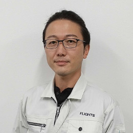
 加塩博士 KASHIO Hiroshi
 -
3次元設計の実務に黎明期から携わり、UAV測量講師として300名以上を育成。地上レーザー、写真測量、LiDARと幅広い測量方法を熟知、あらゆる相談・案件に、その知見を活かし柔軟に対応。
資格:第三級陸上特殊無線技士、DJICAMPインストラクター
-
-
-
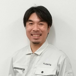
 石山裕太 ISHIYAMA Yuta
 -
航空工学・航空機整備の知識を活かしドローン業界へ参入。非GPSでの操縦技術に長けており、大型機を使用した高画質VR空撮を主軸にCM/VP/映画など多方面で活躍する一方、産業用途にも精通しLiDAR計測、赤外線点検等もこなすマルチオペレーター。
代表作:東北ハウス「The View from TOHOKU & NIIGATA」
受賞歴:ルミエールジャパンVR部門 優秀賞 他
-
-
-
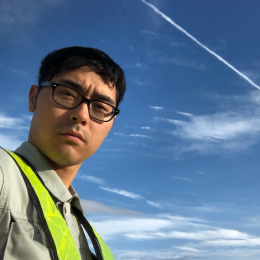
 大石幸平 OISHI Kohei
 -
360°パノラマ(空撮、地上)及びバーチャルツアーの製作からキャリアをスタート。この経験をベースに、2019年~測量(写真・LiDAR)案件をメインに担当している。豊富な現場経験を活かし、太陽光パネル点検・橋梁点検も対応する。
資格:DJIインストラクター、第三級陸上特殊無線
-
-
-
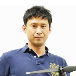
 栗原隆幸 KURIHARA Takayuki
 -
建築工学専攻の出身。前職で培ったカメラの専門知識をベースに、太陽光パネル・風力発電、外壁、橋梁などの、点検・調査業務を担う。
資格:JUIDA無人航空機操縦技能、JUIDA無人航空機安全運航管理者、第三級陸上特殊無線
-
-
-
 渡邊悠 WATANABE Yu
 -
移動体計測、地上型レーザースキャナー計測など、3次元計測を専門とし、多数の実績あり。橋梁点検を担当する機会も増加中。
資格:測量士補、第三級陸上特殊無線、職長安全衛生管理者
-
-
-
 長嶋友紀 NAGASHIMA Tomonori
 -
産業運用ディレクター。1996年より地理情報(GIS)システムに関する業務に従事。ドローン黎明期の2012年から撮影や計測で自治体との連携を開始。『UAV公共マニュアル(案)』以前からUAV測量の実用化に取り組みつつ、各産業分野へのドローン導入を中心に活動。
資格:DJI CAMPインストラクター
-
-
-
 小川武志 OGAWA Takeshi
 - 株式会社オガワ設計技術 技術部 1999年、株式会社計測リサーチコンサルタント入社。写真測量技術を用いた文化財の3Dアーカイブ、インフラ点検業務や、地上型3Dアーカイブ、インフラ点検業務や、地上型3Dレーザースキャナを用いた業務に従事。2013年株式会社オガワ設計技術に入社し、ドローン測量を中心に各種3次元計測業務を担当中。
-
取り扱い製品
UAV(ドローン)
- DJI社製
- Matrice 350 RTK、Matrice 300 RTK、Matrice 600、Phantom 4 RTK、その他 複数所有
- 国産
- AirpeakS1(Sony)、Build Flyer(石川エナジー)
- その他
- Astro / ALTAX(FreeFly社)
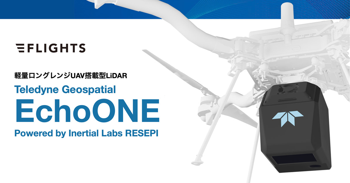
LiDARセンサー(ライダー)
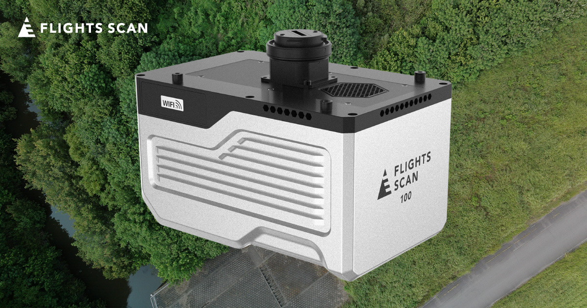
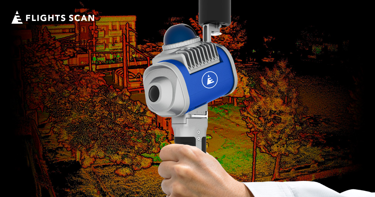
- FLIGHTS製(FLIGHTS SCAN)
- Green Vallay International(GVI)社製(LiAir)
TLS(地上レーザスキャナ)
- Trimble社製
- TOPCON SOKKIA社製
- Leica社製
主要取引先
地方や離島など、
日本全国どこでも対応可能です!
FAQ
-
見積もりは無料ですか?
-
無料です。作業内容と範囲が分かる資料をご提出いただければ、より詳細な見積もりが可能です。
-
見積もりから計測まで、最短で何日くらいかかりますか?
-
おおよそ5営業日ほどいただいております。災害現場の測量など、お急ぎの場合は調整も可能です。まずはお問い合わせください。
-
樹木下の計測は可能ですか?
-
可能です。LiDAR測量では写真測量とは違い、樹木下を計測できることが最大の特徴です。現場の植生状況に合わせて計測を実施いたします。
-
1日に計測可能な面積はどれくらいですか?
-
使用機器や現場状況によりますが、約300,000㎡(30ha)〜700,000㎡(70ha)の計測が可能です。
機器のデモンストレーションのご依頼からも受けつけております。
まずはお気軽にご相談ください。