

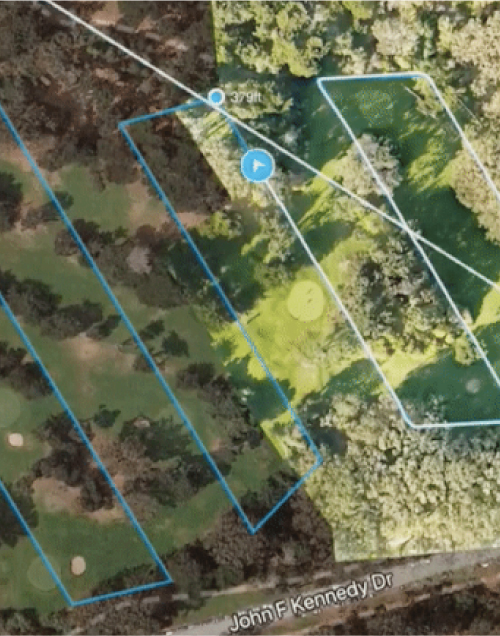
Visualize the growing situation of agricultural crops
By analyzing the leaf color from the image of drone, users can analyze the growing situation of crops easily. By not only improving productivity but also sharing data with JA and local governments, you can remotely manage or inspect farms in the area of interest without visiting to the farm.
Features of Our Service
-


Appropriate Consulting
We propose optimal packages according to each site, not over-spec drone or software.
-


Professional Training
A professional pilot who conducted training to more than 1,000 people will teach from the basic of drone.
-


Remote management
It is hard for local officer or land owner to go directly to agricultural land scattered in the area, but you can remotely and virtually visit there.
Use Cases
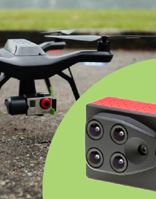
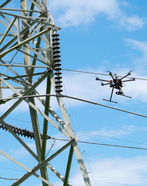
Step by Step Implementation
-
Contact Us
Please call (+81)3-5860-1023 or send a message using the form for your inquiry.
Our experienced staff will help you. -
Briefing Before Flight
We will suggest the best plan based on your request and budget.
Method, date, place, and accuracy of survey can be determined after discussion. -
Flight Survery
Once plan has been set, our experienced staff will implement the survey.
-
Reporting
Using the survey result, we process the data and send it to you.